Geographic Information Services/Mapping
Geographic Information Services (GIS)
A division of the Information Technology Department, is an internal services agency that supports a wide variety of departments in their daily operations by creating, maintaining, analyzing, and providing access to location-based data. GIS compiles data from various sources including plans, ordinances, and field research into a centralized database for easy access.
The GIS division also provides analytical services to departments to aid in their decision-making processes with geographic intelligence. Departments in turn utilize GIS as a means to track and share their information.
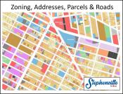
We provide Interactive Maps which contain many data layers of zoning, future land use, garbage routes, safe routes to school, etc.
Interactive Maps